Wildgerlostal
Westernmost high valley in Krimml Wasserfalldorf
- Rugged peaks, jagged glaciers and sparkling lakes -
The Wildgerlostal valley is a beautiful high valley between Salzburg and Tyrol in Krimml Waterfall village. Because of it´s beautiful alpine pastures, the spring-fresh water in Durlassboden Reservoir and the wonderful mountain panorama of the Reichenspitzgruppe, the Wildgerlostal valley is offering adventure and experiences.
The Durlassboden lake is a great spot for anglers. Mountain bikers can cycle on an alpine road along the Durlassboden lake and alpine pastures to the Finkau inn.
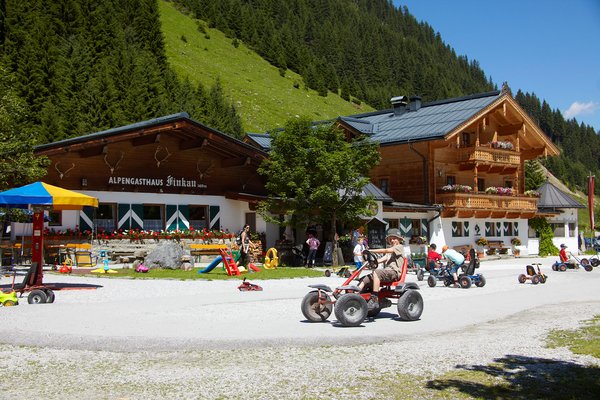
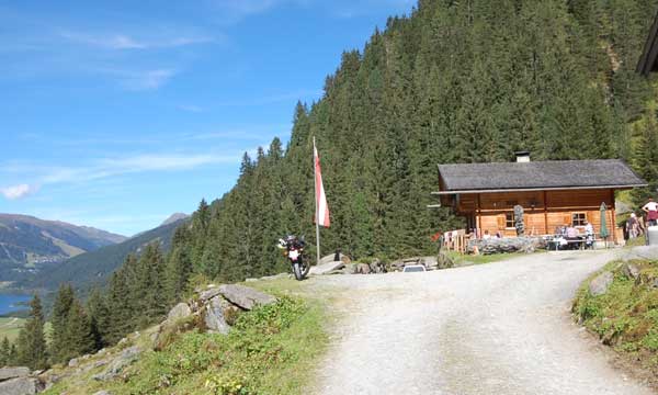
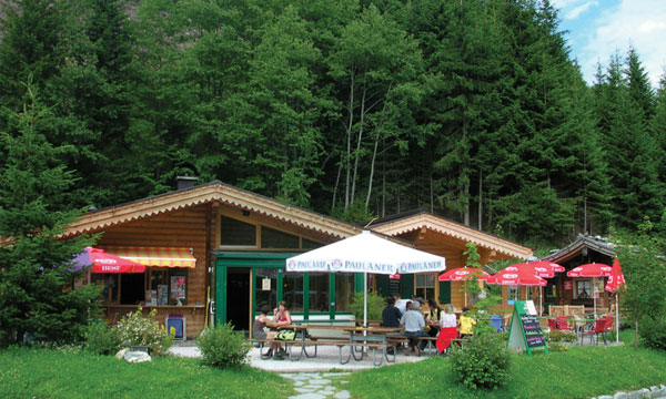
Finkau
- 1413m above sea level -
At an altitude of 1400 m above sealevel you can expect a sense for hospitality and traditional values, and an intimate contact to things - that is the Finkau alpine inn. It is an ideal starting point for hiking, mountain-biking, walking and it is also a beautiful place to relax in the Hohe Tauern National Parc Region.
Families with children like the big adventure playground and the little children´s farm.
If you want to comfortably hike through varied nature you can walk around Finkau Lake, to Finkau chaple or Trisslalm. You can go there by your own car until the Finkau. If you want to start a hiking trail or mountain tour from there, you can park your car at the big parking lot at alpine inn Finkau, which you have to pay a commission.
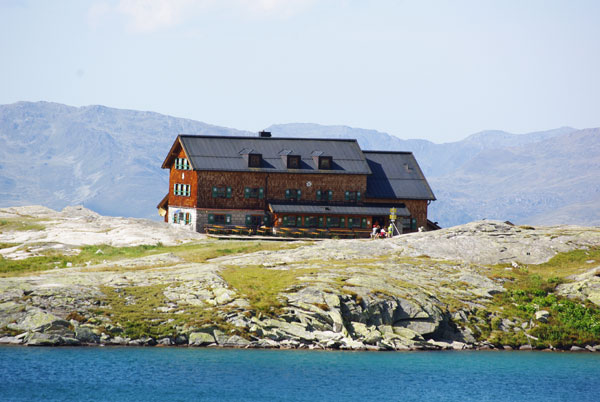
Zittauer Hütte
- 2328m above sea level -
Beautiful situated, high alpine refuge (Österreichischer Alpenverein) at the lower Wildgerlos lake. Starting point for more challenging and sometimes even require mountaineering experience in the Hohe Tauern National Parc (Wildgerlosspitze, 3.280m, Reichenspitze, 3.302m, Roßkopf, 2.844m, Gabler, 3.260m, Wildkarspitze, 3.076m). The Kogler family is pleased to see you!
Walking distance: from alpine inn Alpengasthof Finkau - Trisslalm - Zittauerhütte about 3 hours.
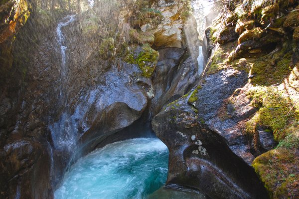
Natural monument Leitenkamerklamm
- 1540m above sea level -
Leitenkamer gorge - the ravine in the Wildgerlos Valley in the Austrian Alps near the town of Krimml is a nationally designated area since 2002.
Due to its uniqueness and beauty, the Leitenkamerklamm gives the landscape in the Wildgerlostal a special character. The white water, fed by glaciers, makes its way over approx. 100m through the 5 to 20m wide gorge. Towering rock faces, washouts, whirlpool holes and scours / pools (depressions at the bottom of the stream) have been formed by the melt water and the sand it has carried with it.
The walking distance from Finkau alpine inn to Leitenkamer gorge is about 30 minutes.
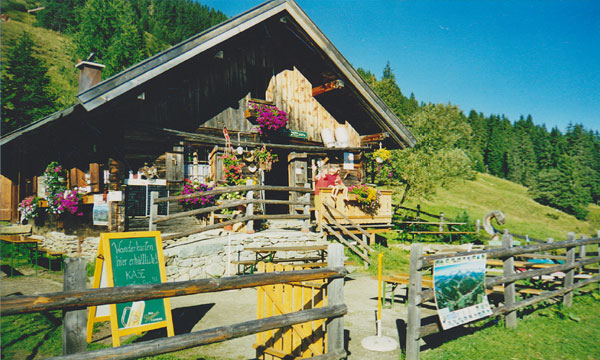
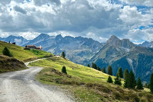
Gletscherblickalm
- 1850m above sea level -
The Gletscherblickalm is situated on the sunny western part of Plattenkogel. It is accessible through a built-out gravel path in about 30 minutes, starting point is the district Silberleiten in Krimml.
The panoramic view of the landscape, which is above, right next to and underneath, is truly fascinating. The mighty Reichenspitzgruppe borders the Wildgerlostal through the Wildgerloskees towards the south. Towards the west, the Austrian countries Tirol and Salzburg are separated through the Schönbichl (2.049m) and the Lahnerhöhe (1963m). In the north the Kitzbüheler Alpen and the ski village Königsleiten beneath the Königsleitenspitze can be viewed. On the east side, there is the rounded crest of the Plattenkogel with a fruitful shieling on its hillsides.
The traditional food that is served on Gletscherblickalm is tightly connected to the owners and cultivators of the alp and the landscape. It is a thoughtful give and take which is highly valued by both locals and visitors from abroad.
Walking distance: The Gletscherblickalm is accessible from Silberleiten/ Hochkrimml in about ½ hours walking time.

Google Maps
Die Karte wird via Google Maps eingebettet.
Es gelten die Datenschutzerklärungen von Google.