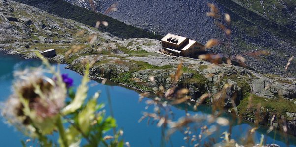
Zittauer Hütte
in the Wildgerlostal, 2328m above sealevel
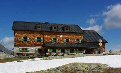
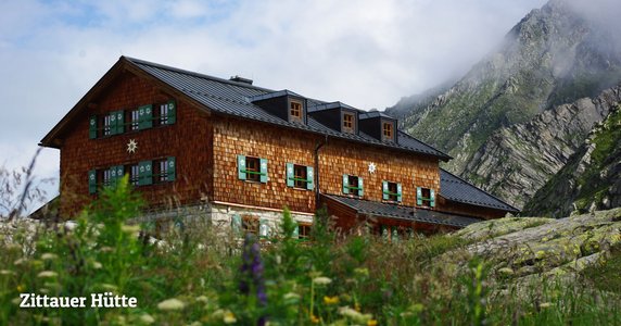
The Zittauer Hütte is situated 2328 m above sea level in the Wildgerlostal, the most westerly Tauern valley of the national park Hohe Tauern. Right in front of the cottage is a tarn called unterer Wildgerlossee, where the prominent peaks of the Reichenspitzgruppe are reflected in the water. Hikers and high-altitude climbers have plenty of options for mountain hikes and hut-to-hut trekking tours.
In the cottage you are welcomed by the Kogler family, who serves mountain climbers and hikers with traditional dishes from the Austrian kitchen.
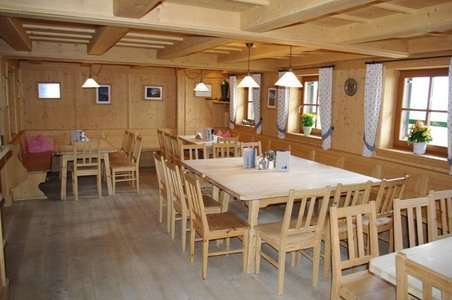
For courses and schoolings is a training room for approximately 30 people on hand.
The Zittauer Hütte is a high alpine mountain hut!
The owner of both the Zittauer Hütte in the valley Wildgerlostal and the Warnsdorfer Hütte in the valley Achental is the Alpenverein Warnsdorf/Krimml of the Austrian Alpine Association.
The Zittauer Hütte is dependent on the weather open from the beginning of June to the middle of October!
Distances
The Zittauer Hütte is situated 2328m above sea level amidst the national park Hohe Tauern in the valley Wildgerlostal. There is no driveway!
You can approach the Zittauer Hütte by foot through the following ascents:
- Finkau-Alpe, 1.422m, Walking time: 03:00 (Krimml - Gerlospass - Wildgerlostal - fee required parking space Finkau)
- through the Krimmler Tauernhaus 1.631m - Rainbachscharte, 2.720m to the Zittauer Hütte, Walking time: 04:00
- through the Richterhütte 2.374m - Rosskarscharte, 2.687m, Walking time: 03:30
Tenant Familie Kogler
Zittauer Hütte
5743 Krimml
Tel. Hut: +43 65648262
Tel. valley: +43 6564727612
Email
www.zittauerhuette.at
Owner:
OeAV Alpenverein Warnsdorf-Krimml
Oberkrimml 47, A-5743 Krimml
Tel.: +43 65647212
Google Maps
Die Karte wird via Google Maps eingebettet.
Es gelten die Datenschutzerklärungen von Google.

